Biking in Beaumont
Everything You Need to Know About Rolling Around Town
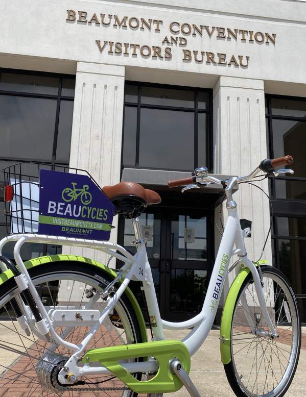
Whether you are new to biking or have been a pedal pusher for years, Beaumont is best seen by bike. Sure you could explore on foot or by car, but isn't everything more fun with a little pedal power? Whether you’re rollin’ with your homies or ridin’ solo, head to these areas for a Tour de Beaumont (and beyond) on two wheels.
Coleman Concierge Guide to Biking Beaumont
Three easy bike routes exploring downtown, the West End and Tyrrell Park with maps to follow in Map My Ride.
Suggested Downtown Routes
Top 10 Must-See Stops
If you have limited time to explore, this is the route to follow for a quick overview of the area…
Mural and Art Photo Tour
Grab your camera and get ready to pose because downtown Beaumont is brimming with art! Recommended…
Architectural and Historical Gems
Take a ride around our mysterious and glamour turn of the century buildings. Recommended Ride Time…
Bike Trails
Where to Explore on Two Wheels
Southeast Texas has an array of hike and bike trails, natural areas, and other scenic settings to explore by foot or on bike. If you’re interested in adding some pedal power to your workouts, compile your playlist, throw on your gear, and get prepared for an adventure.
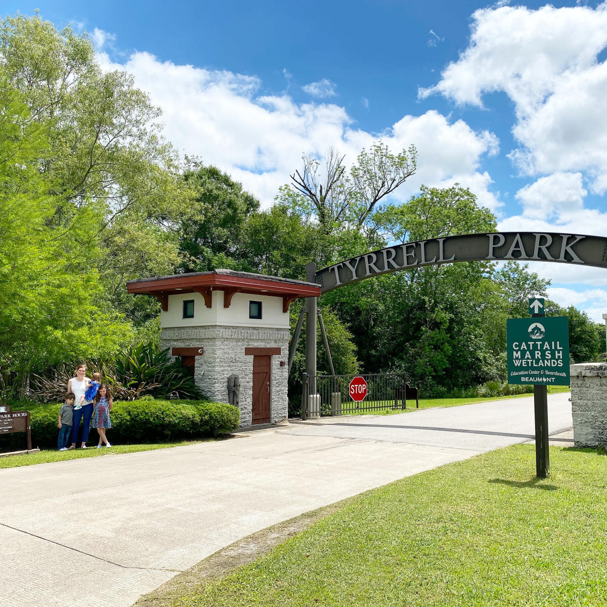
Tyrrell Park
- Trail Length: 2.8 miles
- Difficulty: Easy
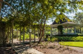
Encompassing an area of about 500 acres, Tyrrell Park is Beaumont’s largest park. Within the sprawling park includes the Beaumont Botanical Gardens, Henry Homberg Golf Course, Tyrell Park Stables, and Warren Loose Conservatory. The park also features covered pavilions and picnic areas, making it a perfect place to get your sweat on while stopping for strategic breaks to meander the flower paths and say hello to the horses. Explore all that the park has to offer by riding around the 2.8 mile multipurpose trail or follow the roads and see where they take you.
Cattail Marsh
- Trail Length: 8 miles
- Difficulty: Easy
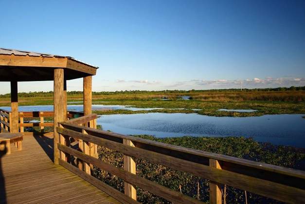
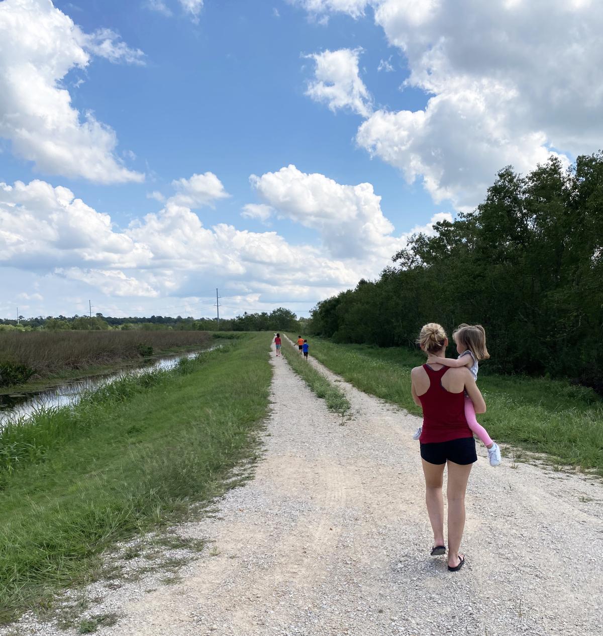
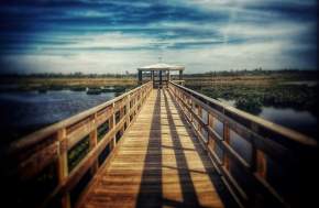
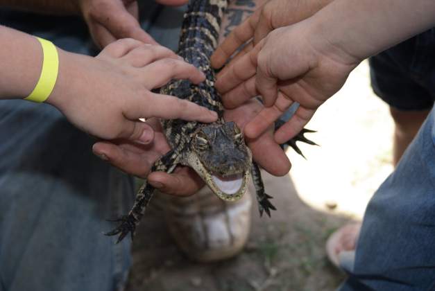
Adjacent to Tyrell Park is Cattail Marsh, which offers approximately 900 acres of wetlands to explore. Although you're within city limits, you feel completely immersed in nature. Zoom past birds, alligators, and otters on the eight miles of gravel levee roads, enjoying the breeze on your face and take in the sights around you.
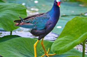
For the birders out there, you may want to bring your binoculars – Cattail boasts an impressive birding scene, where you can see 250 species year-round.
Need to cool down? Pop by the Wetlands Education Center. With an elevated wrap-around porch, the view can’t be beat or hang out at the picnic tables painted by local artist, Ines Alvidres.
Big Thicket National Preserve - Big Sandy Trail
- Trail Length: 18 miles (roundtrip)
- Difficulty: Moderate to Challenging
At the Big Thicket National Preserve, which encompasses more than 113,000 acres, visitors can witness a diverse array of ecosystems, vegetation, and wildlife.
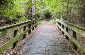
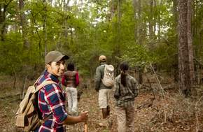
While there are 40 miles of hiking trails and 20+ miles of paddle trails, Big Sandy Trail, in the Big Sandy Creek Unit, is the only option for biking. 18 miles round-trip, the trail follows a series of old logging roads that allows adventurers to experience pine and hardwood forests, a cypress bog, floodplain plant communities, and a scenic tupelo swamp.
Along its 9-mile length, the Big Sandy Trail boasts more topography than any other trail in the preserve. The changes in elevation will challenge your muscles, but observing the contrasts of nature and differing ecosystems will distract you from the burn.
Beaumont Hike & Bikes Trails
Both the Hike & Bike trails, located on Folsom Drive & Phelan Boulevard, offer family-friendly paths for biking, walking, running or a day out with your four-legged friends.
Folsom Hike & Bike Trail
- Trail Length: 1.4 miles (one-way) or 2.8 miles (roundtrip)
- Difficulty: Easy
At the Folsom Hike & Bike, families, couples, and solo-riders put their bodies in motion by looping around the trail. If you’re looking for a place to unwind with some exercise or get your workout in for the day, the 1.4 mile long concrete trail is the perfect spot to do so.
If you’re looking for an extra oomph, get off the beaten path and shoot up the man-made hill – Beaumont does translate to “beautiful mountain” after all.
Gulf Terrace Hike & Bike Trail
- Trail Length: 3.5 miles
- Difficulty: Easy
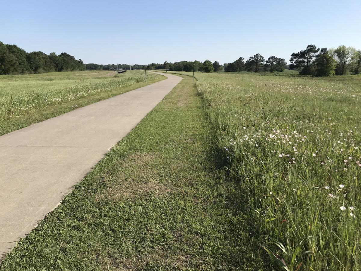
Year-round, cyclists and walkers alike can be found at the Gulf Terrace Hike & Bike Trail enjoying the 3.5 mile concrete paths. It’s wide enough for bikers to zoom by pedestrians with ample room for all to enjoy with clear markings indicating where to turn. There are two entrances at Dishman and Phelan.
Depending on the time of year, you may spot some wildflowers and you’ll never be without company as cows graze in nearby pastures.
Village Creek State Park
- Trail Length: 8 miles of marked trails
- Difficulty: Easy to Challenging
Plants and wildlife abound at Village Creek State Park, making it a memorable place to get your exercise on. Within the park, there are opportunities to camp, hike, swim, picnic, and bike.
Pass through eight miles of trails, exploring varied habitats arid lands and swampy areas. Keep an eye out for wildlife including our feathery friends. With over 200 species of birds native to the area, you’re bound to check some off your list.
Claiborne West Park
- Trail Length: 5 miles
- Difficulty: Easy
Located near Orange, Claiborne West Park comprises 453 acres of land. Part of The Great Texas Coastal Birding Trail, the wood recreation area is also a wildlife and bird sanctuary. With five miles of trails in the nature preserve, there’s plenty of room to explore and observe the birds and animals that call Southeast Texas home.
Playgrounds, barbeque grills, picnic tables, and campgrounds invite you to extend your riding outing. If you need a break after biking, enjoy the tennis court, softball field, disc golf course or washer court.
Hiking Trails in the Big Thicket
The Big Thicket encompasses nine different ecosystems and 15 units, which are spread across multiple counties, offering acres upon acres of…
Birding Trail Maps
Beaumont is on two migratory flyways & hundreds of bird species are spotted around Beaumont annually.
Paddling Trail Maps
Access Beaumont's many bodies of water and learn why paddling is a favorite among the locals.
Biking Trail Maps
Discover Beaumont's bike trails, from family routes to those for advanced riders.
City Park Maps
The City of Beaumont has an extensive system of city parks for locals and visitors alike.
Running Trail Maps
Looking to break a sweat? Check out our running maps to explore Beaumont's top running spots.
Big Thicket Trail Maps
Explore the Big Thicket National Preserve for hiking, camping, paddling and more.
Beaumont Birding Itinerary
Beaumont, Texas is along two migratory flyways which brings a wide variety of birds, thanks to its range of habitats.
Hiking
Lace up your boots and get outside for the best places to hike in Beaumont, Texas.
Kayak & Canoeing
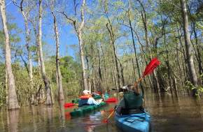
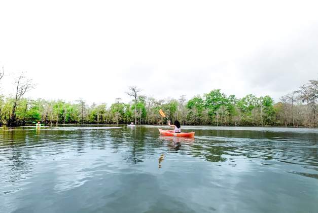
There is so much beauty to be found in the unique landscape of Southeast Texas that remains as if a hidden secret in plain sight! During a kayaking trip at Big Thicket National Preserve in Vidor, just outside of Beaumont, people are able to experience the vast open water and then weave through…
Camping
Camping in Beaumont -- sleep under the stars at the beach, at a state park, or get wild in the woods. Find your perfect campsite under the big Texas sky.
Adventure Seekers
Sometimes you want a vacation where you eat, drink and relax, and other times you’re looking for a little more adventure. You can find both in Beaumont, Texas, and summer is a great time to visit if you’re parent of that adventure crowd.
Official Visitors Guide
Begin planning your adventure by viewing the Official Southeast Texas Visitors Guide. Or, request a copy by mail and sign up for email updates.
Hotels
It's never been easier to find and book a hotel room in Beaumont. Browse our list of wonderful accommodations.
City Maps
We've compiled a list of maps to help you explore downtown Beaumont, hiking and biking trails, and the entire southeast Texas region.
Restaurants
Explore Beaumont's flavor with made-from-scratch menu items and locally sourced goods. And let's not forget the craft beer.
Blog
Read up on our blog, The Insider's Guide to happenings in and around Beaumont.


